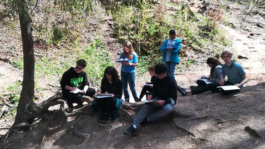
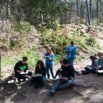
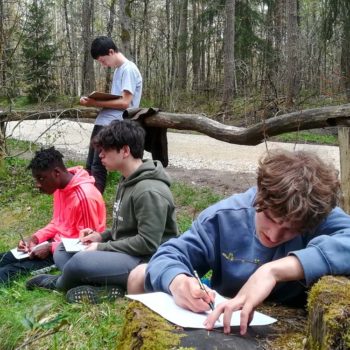
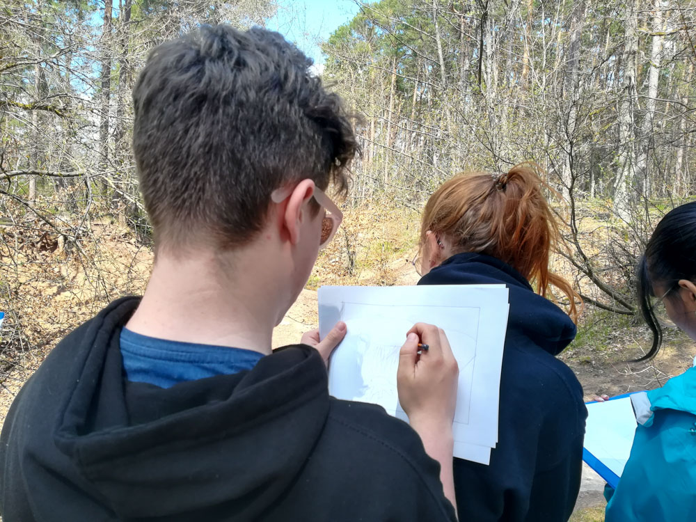
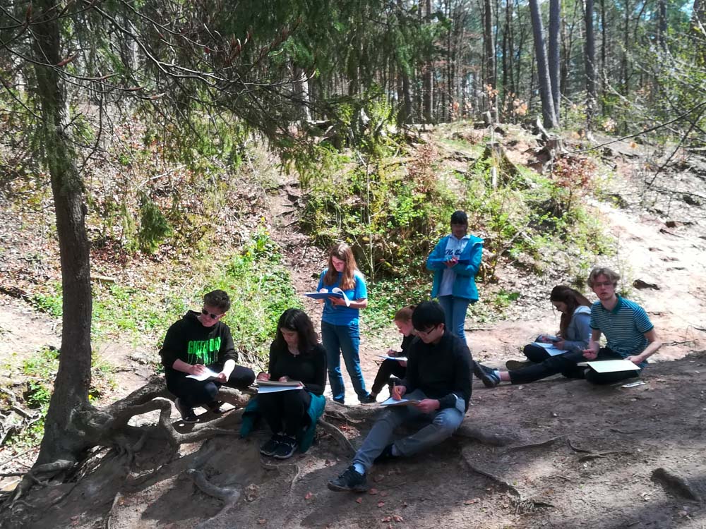
As part of the Diploma Programme, the Geography students actively engaged with outdoor learning to collect primary data from Indianerschlucht, (sunny) Uttenreuth for their Internal Assessment. This is a core part of the Diploma Programme syllabus to enable students to directly apply geographic and geological theory through practical skills, for Standard Level students this is worth 25% of their final grade and 20% for Higher Level. COVID-19 has continued to present some challenges and limitations to where we can conduct fieldwork but it has given us the opportunity to appreciate, explore, and investigate our local area in depth. Elementary School and Early Years students are embracing these concepts in their Outdoor Learning lessons, thus Mrs Sarah Sharpe, Outdoor Learning Teacher, joined the DP trip to build cross-section connections between Diploma Programme and our Outdoor Learning Curriculum to enrich our appreciation and understanding of the local environment around us.
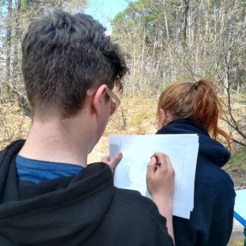
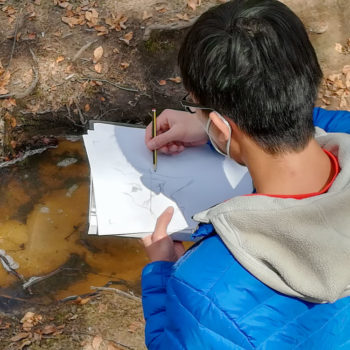
Grade 11 Geographers have designed methods to collect data in order to investigate the stability of the slopes, the cause of erosion and the change in physical characteristics in Indianerschlucht. Students are now tasked with processing, presenting and statistically analysing data to prove the hypotheses that they have individually designed. This investigation blends the use of qualitative and quantitative data with secondary geographic information systems such as Bayern Atlas and ArcGIS as well as topographic mapping tools. DP students have used their logical, creative and critical thinking skills to prove their self designed hypotheses in a 2,500-word report.
Thankfully, Mother Nature was on our side, despite the determination of meteorologists’ reports to forecast wet and muddy conditions, our data collection session proceeded without the use of waterproof clothing.
Scott Simpson
DP Geography Teacher


